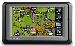
Garmin aera 500 Portable GPS
 |
|||
| Part Number: | 010-00836-00 |
||
Suggested Retail Price: |
$ 649.00 |
||
Our Price: |
$ 599.00 |
||
Premier Avionics is an Garmin GTN650 and G600 Demo Dealer
- Overview
- Specifications
- In the Box
- Accessories
- aera 560 Video
Garmin’s aera series of dual-duty GPS portables offer easy transition from flying to motoring – by combining the best in moving-map display features with intuitive, menu-driven touchscreen control. With aera, fingertip navigation has entered a whole new era: One that streamlines operation. Eliminates knobs and buttons. Simplifies the pilot/motorist interface. And lets you think in terms of door-to-door guidance, not just runway-to-runway.
Check Out the aera 500
There are four aera models in the Garmin lineup, offering a full range of cost/capability choices. The first and most affordable unit in the series is the aera 500. Featuring a crisp 4.3-inch QVGA wide-format touchscreen and pre-loaded graphical mapping, this versatile, feature-rich unit comes ready for takeoff, right out of the box.
Fly aera. Anywhera
In aviation mode, the aera 500’s detailed chart-style shaded mapping and extensive terrain and aviation databases help you visualize your flight path in relation to nearby navaids, terrain, SUAs, obstructions, and so on. To help keep pilots aware of special airspace activity, over 683 parachute drop zones are detailed in the Americas navigation database. Plus, the addition of private airports and heliports to the database affords even more navigation and emergency “nearest” options. A database-driven terrain advisory feature offers TAWS-like color coding and pop-up alerts when possible obstructions or ground proximity conflicts loom ahead. And with terrain/obstacle data shown at standard 30 arc-second resolution, you’ll enjoy a surprising level of detail on the display. The unit’s graphical Terrain page offers both overhead and vertical profile views of the topography you’re flying over. What’s more, there’s an IFR map mode that lets you display and navigate on high or low enroute airways. You can also pull up MEAs (Minimum Enroute Altitudes) and distances between intersections by touching the airway on the map.
As in all the aera models, the internal GPS updates at a rate of five times per second (5 Hz), which allows your moving map and flight data to display smoothly and continuously. And for added safety, an optional power/data cable (sold separately) makes it easy to interface your aera 500 with the Garmin GTX 330 Mode S transponder in your aircraft, so you can access and display TIS traffic alerts in busy terminal airspace. What’s more, you can also use the aera to load communications frequencies into your Garmin SL 40 Comm or SL 30 Nav/Comm transceiver.
Built to Fly. Born to Run
Once your aircraft returns to terra firma, the fun of aera navigation continues with full automotive GPS capability and preloaded City Navigator® NT street mapping. Operating much like Garmin’s popular nüvi® line of touchscreen auto navigators, your aera 500 offers voice-guided turn-by-turn directions with text-to-speech audio technology that calls out streets by name. In addition, there’s built-in Bluetooth® support for wireless hands-free calling with your compatible mobile phone. And the aera’s built-in “points of interest” database offers helpful guidance to millions of motels, restaurants, gas stations, ATMs, and other local attractions. To further speed your transition from aircraft to automotive mode, a unique ”smart mount” for the aera offers instant clip-and-go car navigation.
Garmin aera series: It’s the ultimate fly/drive option.
![]()
![]()
What's in the Box:
- aera 500
- Free single database update
- Yoke mount with power cable
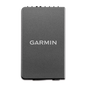
- Battery pack
- Portable friction mount
- USB cable
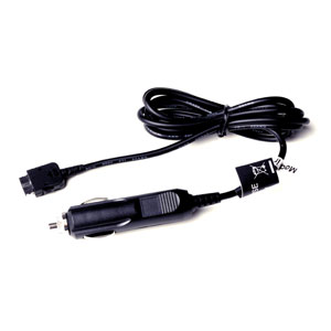
- Vehicle power cable
- Pilot's guide and owner's manual
Select an item below to expand the menu and show options.
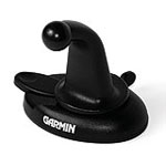 |
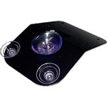
Dashboard Mount | 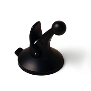 |
Vehicle Suction Cup (Replacement) |
| 010-10747-02 | 010-10747-00 | ||
 |
Yoke Mount (Bracket only) | Portable Friction Mount (large) | |
| 010-11385-00 | 010-11280-02 | ||
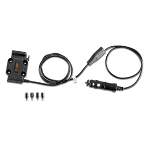 |
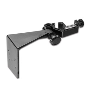
Aviation Mount with Power and Audio | 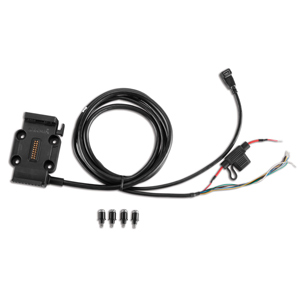 |
aera5XX Aviation Mount (Bare wires) |
| 010-11385-01 | 010-11385-03 | ||
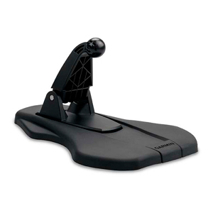
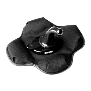 |
Portable Friction Mount | 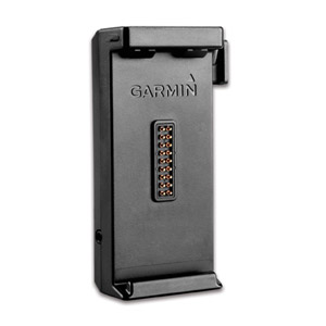 |
Unit Mount (without suction cup) |
| 010-10908-02 | 010-11455-00 | ||
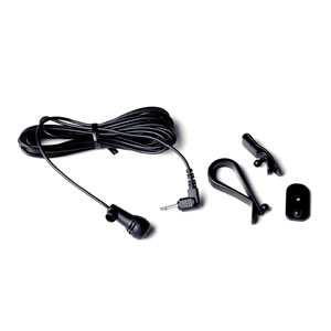 |
External Microphone | Vehicle Power Cable | |
| 010-10804-00 | 010-10747-03 | ||
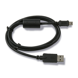 |
Mini USB Cable | 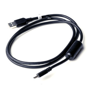 |
Mini USB Cable |
| 010-10723-15 | 010-10723-01 | ||
 |
Battery Cover (aera 550/560) |  |
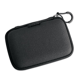
Carrying Case |
| 010-11384-01 | 010-10231-01 | ||
 |
zumo Case Protector | ||
| 010-11270-00 | |||
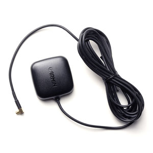 |
GA25MCX Remote Ant. (Low Profile) | 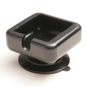 |
Suction Cup Mount for GA25 Ant. |
| 010-10702-00 | 010-10871-00 | ||
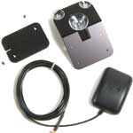 |
GA27C Auto Antenna (Low Profile) | 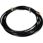 |
EXT. Cable for GA27 Antenna |
| 010-10052-05 | 010-10157-00 | ||
 |
GA26/27 Antenna Suction Cup | ||
| 010-10139-00 | |||
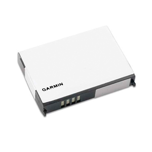 |
Lithium-Ion Battery Replacement | ||
| 010-11143-00 | |||
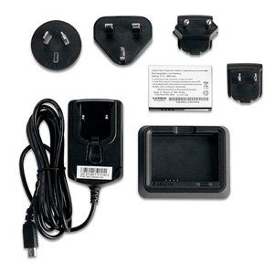 |
Battery Pack Combo with Charger | ||
| 010-11143-01 | |||
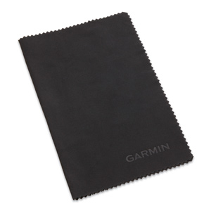 |
Cleaning Cloth | ||
| 010-11755-00 | |||